
Eight Plenary Meeting of UN-GGIM: Europe
| 13 October 2021
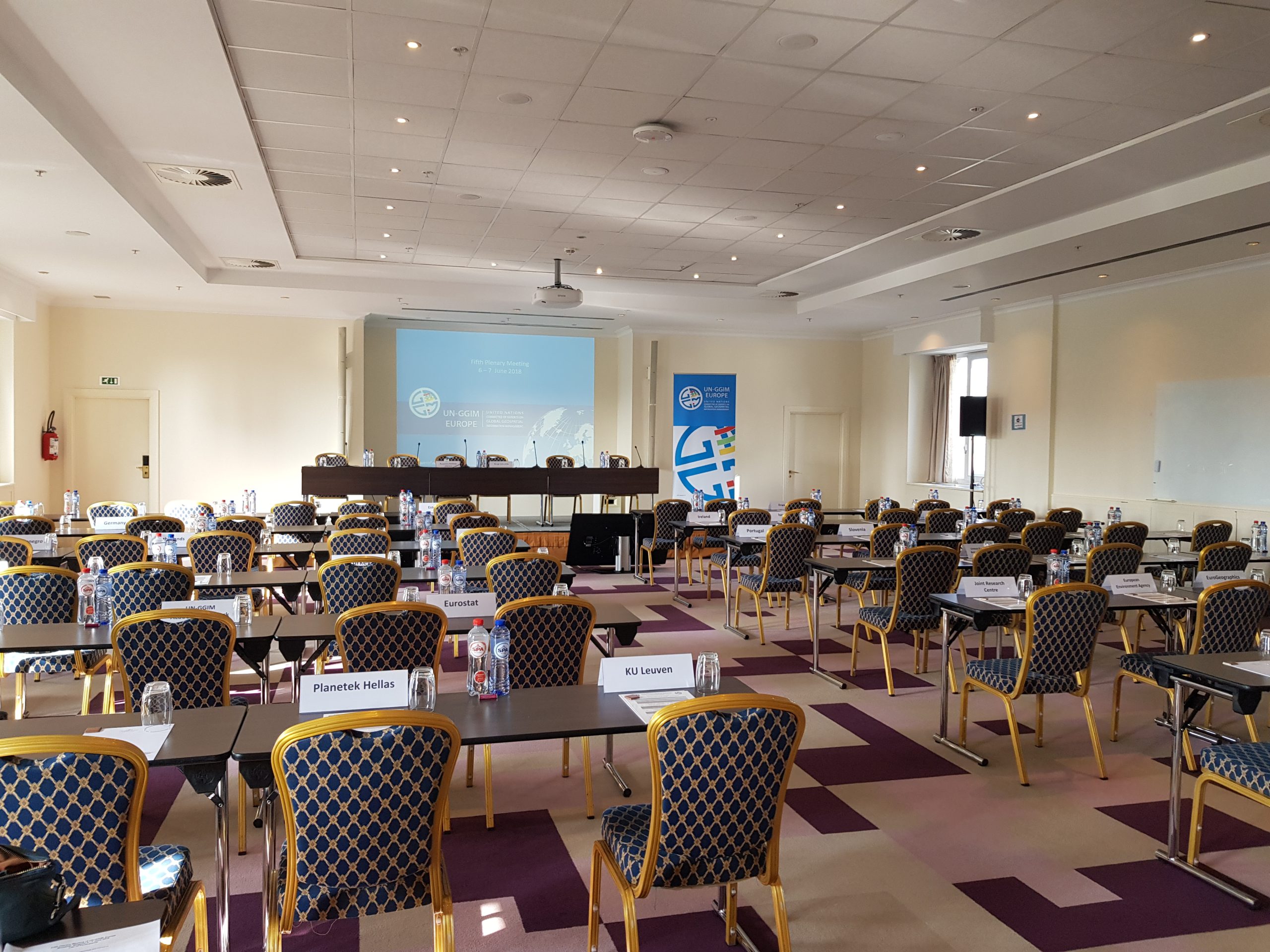
The Eight Plenary Meeting of the European Region of the United Nations Committee of Experts on Global Geospatial Information Management (UN-GGIM: Europe) will beheld on the 13 – 14 October 2021.
The original intention was for the Eight Plenary Meeting of UN-GGIM: Europe to be held in Brussels, Belgium as a physical event, the date of the event was moved from June to October in the hope that travel disruption cause by the Covid-19 pandemic would have eased. However, since travel restrictions are continuing the Eight Plenary Meeting of UN-GGIM: Europe will once again be organised as a Virtual Plenary Meeting.
The Virtual Plenary Meeting will be split into three sessions of two and half hours each. They will be held over two days, in the morning (10:00 – 12:30) and the afternoon (14:00-16:30) of Wednesday the 13 October and the morning (10:00 – 12:30) of Thursday the 14 October. A number of side-events on different topics are planned for the afternoon (14:00-15:30) of the 14 October. All times are Central European Summer Time (CEST).
The Eight Plenary Meeting of UN-GGIM: Europe will once again bring together senior executives from national geospatial information and statistical authorities within Member States and international geospatial experts from across the region. One advantage of having a virtual event is that it offers the possibility of more Member States to participate.
Meeting Documents
Presentations
Opening of the Eighth Plenary of UN-GGIM: Europe, Chair – Tomaž Petek, Chair of the Executive Committee UN-GGIM: Europe
| UN-GGIM: Europe – Year in Review, Tomaž Petek, UN-GGIM: Europe |
Working with our UN-GGIM: Europe partners/stakeholders, Chair – Janusz Dygaszewicz, Poland
| Report from UNECE, Steven Vale, UNECE |
| Update from Eurostat, Oliver Mueller, Eurostat |
| Update from EuroGEO, Jean Dusart, European Commission, DG Research & Innovation |
Implementing the IGIF/stakeholders, Chair – Susanne Ås Sivborg, Sweden
| Update from the HLG-IGIF, Anders Sandin, Co-Chair HLG-IGIF |
| Update from Germany, Paul Becker, Germany |
| Update from The Netherlands, Eva-Maria Unger, The Netherlands |
UN-GGIM looking to the future, Chair – Ingrid Vanden Berghe, Co-Chair UN-GGIM
| Highlights from GGIM11/Strengthening Institutional Arrangements on Geospatial Information Management, Greg Scott, UN-GGIM |
Data for the decade of action, Chair – Tomaž Petek, Chair of the Executive Committee UN-GGIM: Europe
| SDG Data Alliance, Carmelle Terborgh, Esri for the SDG Data Alliance |
| Pan-European datasets: Getting ready for the decade of action, Léa Bodossian, EuroGeographics |
| Geospatial Data Driving DRRM during the Decade of Action, Simone Lloyd, UN-GGIM Working Group on Geospatial Information and Services for Disasters |
UN-GGIM: Europe – keeping up with a changing landscape, Chair – Frank Tierolff, the Netherlands
| Report from Working Group on Core Data, Clement Godin, France |
| Report from Working Group on Data Integration, Pier-Giorgio Zaccheddu, Germany |
| UN-GGIM: Europe strategy, David Henderson, United Kingdom |
| UN-GGIM: Europe Work plan, Francisco Vala, Portugal |
Side Events
GGCE: Pulling Together – European Contribution to the Global Geodetic Centre of Excellence – Concept note and agenda
| Germany’s offer to host the GGCE and Status of the establishment of the GGC, Paul Becker & Johannes Bouman, BKG, Germany |
| Challenges in establishing and operating global geodetic infrastructure, Per Erik Opseth, Norwegian Mapping Authority, Norway |
| Swedish contribution to the international geodetic Infrastructure, Martin Lidberg, Lantmateriet, Sweden |
The challenge of GEOAI: GEOAI for Good & GEOAI for a Sustainable Europe – Concept note and agenda
| Machine Learning for Earth and Climate Sciences, Gustau Camps-Vall , Valencia University, Spain |
| Machine Learning and Deforestation in Amazonia, Maria Brovelli, UN-GGIM Academic Network/Politecnico di Milano, Italy |
| AI at national mapping and cadastral agencies in Europe, Colin Bray, OSi/EuroGeographics |
European Data Policy: the changing landscape – Concept note and agenda
| European Data Policy underpinning the European Green Deal, Stefan Jensen, EEA |
| Modernising INSPIRE within the European Green Deal Data space, Francesco Pignatelli & Aleksander Kotsev, JRC |
| Location interoperability good practices ELISE framework and support, Francesco Pignatelli, JRC |
| Supporting the Global Statistical Geospatial Framework, Hannes Reuter, Eurostat |
Standards: Bringing geospatial information and statistics together – Concept note and agenda
| Discrete Global Grid Systems (DGGS) and confidentiality, Ana Santos, Statistics Portugal |
| Implementation of the GFGS in Germany, Marcus Brühl, BKG, Germany |
| The recently released Geo-GSBPM, Steven Vale, UNECE Statistics Division |